7304058383

7304058383

Gaganbawada is situated on the sahyadri range or the western ghats also has a very famous fort Gagangad near it. Gaganbawada, though only 50 km from Kolhapur, is non developed and hilly area of the district. Gaganbawada gets the maximum rainfall during rainy season. Gaganbawada is on threshold of famous Karul Ghat & Bhuibawada Ghat. Looking back into history, Gaganbawada used to be called Bawada Mahal and comprise the current Gaganbawada tehsil of Kolhapur district and the current entire tehsil of Vaibhavwadi of Sindhudurg district. In 1981, Sindhudurg became the independent district. The entire Vaibhavwadi area which used to be a part of Gaganbawada Tehsil was at the foothills of Sahyadri and it was very tedious for people living at the foothills to come to Gaganbawaba for their daily needs.
From Gaganbawada bus stand, two roads can be split in two directions. One of the roads goes to Karul Ghat and one road leads to Bhuibawada Ghat. Gaganagad is the middle point between these two ghats. In order to keep an eye on these two ghats, it was built in the 12th century, Shivaji Maharaj took this fort in 1658. From the village there is a road leading to the base of Gaganagad. The guarding walls of the fort can be seen at some places. During his early penance days Shri Gagangiri Maharaj settled in a cave known as Garbhagiri near the fort and perfected his tantrik techniques. Now there is a temple of Gurudatta and ashram of devotees of Shri Gagangiri Maharaj. During Datta jayanti, a large number of devotees visit the place and it is one of the main festivals of Gaganbawada town.
1 km from Gaganbawada town lay ruins of Gagangad Fort. During British rule it was the headquarters of Gaganbawada tehsil, comprising around 243 square miles now known as Sidhudurg District. There are a small mosque and Bhavani temple in the fort. The guarding walls of the fort can be seen at some places. During his early penance days Shri Gagangiri Maharaj settled in a cave known as Garbhagiri near the fort and perfected his tantrik techniques. Now there is a temple of Gurudatta and ashram of devotees of Shri Gagangiri Maharaj. During Datta jayanti, a large number of devotees visit the place and it is one of the main festivals of Gaganbawada town.

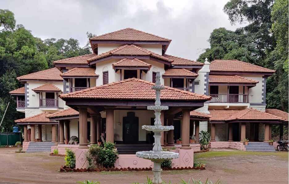
Erstwhile colonial residence of the Pant Amatya Bavdekar family it houses a mini heritage museum and antiques of the Pant Amatya family. Many films have been shot in this wada with “ Pachhadlela “ being the most famous. It is open for visitors from 10.30 am to 5.30 pm.
Pandav Caves, commonly known as Ramling are 8 km from Gagagnbawada. These caves are located near small village called Palsambe. Situated in a small gorge created by stream these caves are believed to be carved by Bhima in one night. There are three monolithic structures, "Sadhana Ghar", which were used as places of meditation during ancient days. the references of these caves are even found in the literature dating back to 5th century.

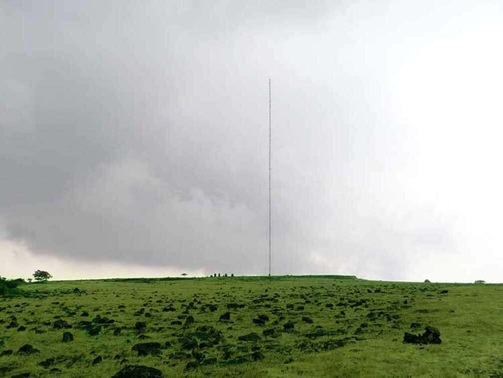
For a hiking enthusiasts Morjai Plateau near Gaganbawada is Must visit. 8 km from the town at height of 980 MSL this laterite plateau is perfect example of "Sada Ecosystem". One can drive down till the base of plateau and then hike up. The hike is moderate and generally takes about 45 minutes to reach the top. At the end of the plateau stands a unique cave temple of Morjai goddess. Morjai is known as the goddess of peace and people come here to solve their disputes in front of her. A local pujari Mr Gurav 72 yrs of age does the hike twice a day to lit a lamp and clean the temple. As the monsoon comes to an end the plateau becomes a carpet of wildflowers. Some nature enthusiasts call it "Kaas" of Kolhapur district.
These two ghats are one of the most scenic routes which originate from Gaganbawada and connect the Deccan Plateau to coastal region, Konkan, of Maharshtra. Karul Ghat descends towards Vaibbhavwadi and is 19 km in length. The road condition is pretty good. This route further goes upto Talere and meets NH17 (Mumbai-Goa highway). Bhuibawada Ghat is smaller compared to Karul and descends towards Bhuibawada Village. This ghat is of 11 km but road is narrow and not in good condition. Both The ghats have scenic views of valleys and hills. At the start of both the ghats near Gaganbawada there are view points from where one can enjoy the sun set.

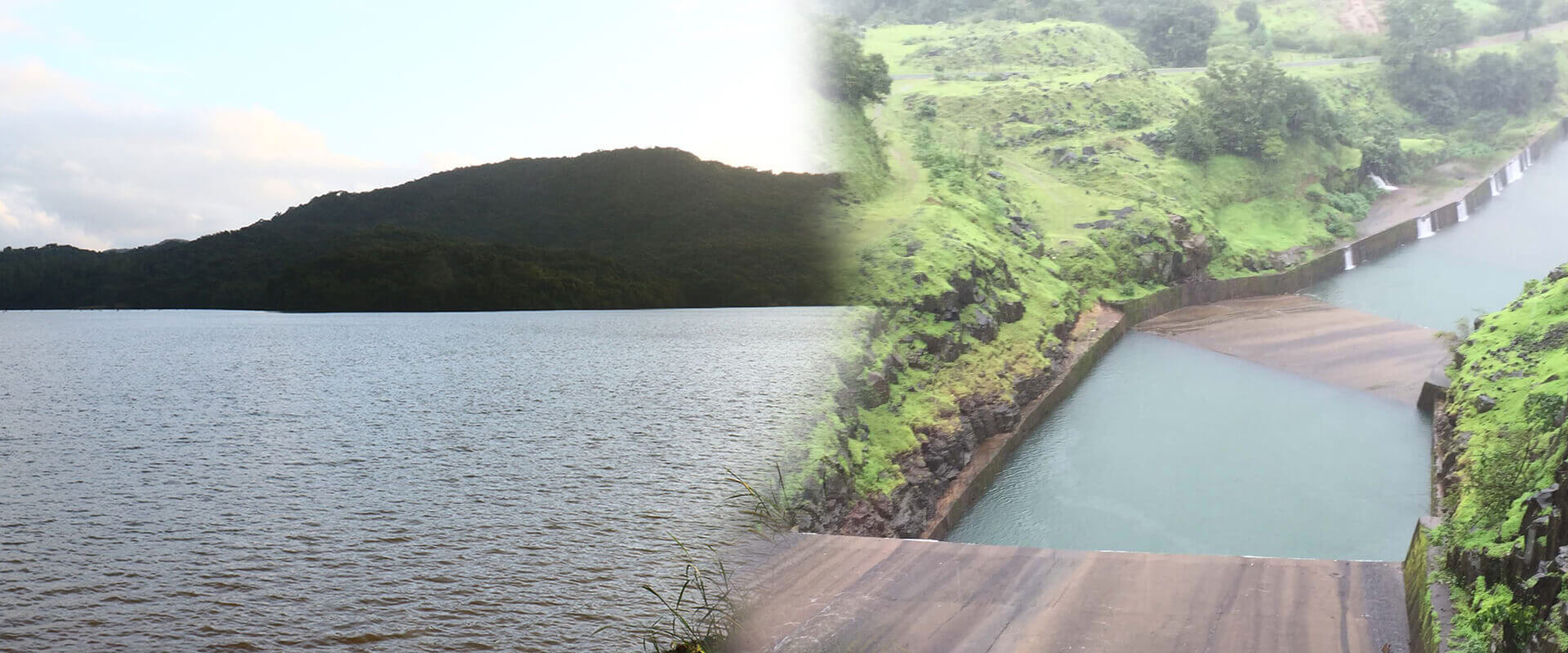
Kumbi Dam is located near Gaganbawada village in Gaganbawada taluka of Kolhapur district. Kumbi Dam is located at a distance of 5 km from Gaganbawada town. The distance of the dam from Kolhapur city is 57 km. The construction of the dam has been done on the Kumbi River, which is a tributary of the Panchganga river and the Panchganga river is a tributary of the Krishna river. The construction of Kumbi Dam was completed in 2007. The height of the dam is 42.58 meters i.e. 139 feet in total. The length of Kumbi Dam is 906 meters i.e. 2972 feet. The water storage capacity of Kumbi Dam is 2.75 TMC i.e. 2750 million cubic feet. The dam has total 3 gates. The reservoir of the dam is called Gaganbawada Reservoir or Gaganbawada Lake.
Height location in Gaganbawada from where you can see heart shaped valley from this place
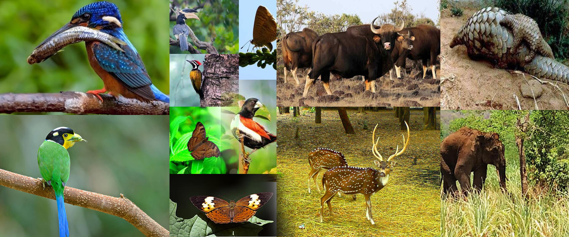
The forests around Gaganbawada are extremely rich in biodiversity. These forests are also home to many medicinal plants and herbs.

For nature enthusiasts Gaganbawada has many surprises. More than 120 species of birds, 50 species of butterflies, 21 species of mammals inhabit the forests of Gaganbawada.